
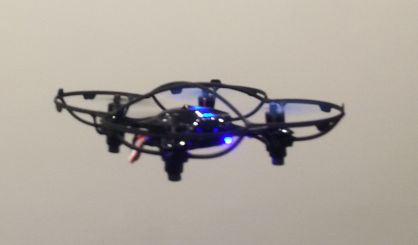
The Michigan Department of Environmental Quality has begun using a drone to help identify the sources of PFAS contamination. Randy Rothe is with the DEQ’s Gaylord office where they’re using the device equipped with an infrared camera that identifies differences in temperature along a lake near Grayling.
“What we do is fly and look at areas where we see where they happen to be blue in color, as blue is the colder colors. Those are areas where we suspect groundwater is entering from the bottom of the lake. Lake water itself is about 70 degrees. These blue areas we suspect are springs are about 55 degrees, and groundwater is about 50 or 55 degrees,” said Rothe. He says the temperature differences help identify sources of water going into the lake, and they test those areas for PFAS.
Rothe expects drones to be used in other parts of Michigan to identify sources of PFAS contamination in the future.

